


This story is part of the WHYY News Climate Desk, bringing you news and solutions for our changing region.
From the Poconos to the Jersey Shore to the mouth of the Delaware Bay, what would you like to know about climate change? What would you like us to cover? Let us know.
More than a dozen people gathered at an East Mount Airy Community Recreation Center Monday evening to discuss environmental issues plaguing the area.
They described trees being planted in the wrong places and not being properly maintained by the city, poor air quality, illegal dumping and flooding.
“We’re talking about improving the community,” said Stephen Jones, a technology support professional who attended the event and has lived in the neighborhood his whole life. “The best input is going to come from people who actually live there. [here].”
The event is the first in a series of workshops led by the City of Philadelphia's Office of Sustainability that will result in a Philadelphia-specific environmental justice mapping tool that officials hope will help inform decision-making by identifying areas that are disproportionately affected by environmental hazards like air pollution and lacking in environmental amenities like green space.
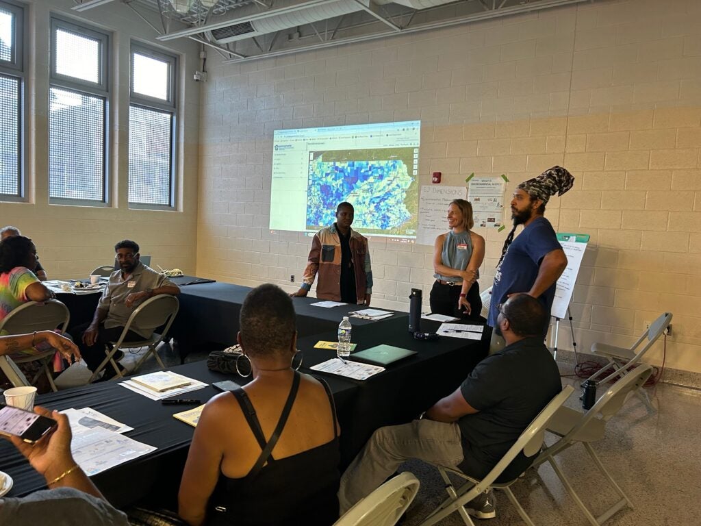
“This tool will be specific to Philadelphia,” said Akila Chatman, a community science specialist at Drexel University's Academy of Natural Sciences, who is helping organize the project. “Today's event is about thinking about how this map can be useful to members of our community.”
Other mapping tools, like the state's PennEnviroScreen, identify environmental justice communities using criteria such as race, income, diesel particulate pollution, and rates of asthma and cancer. EPA's tool, EJScreen, allows users to look at a range of environmental and socioeconomic indicators for a given location.
“There's nothing specific to Philadelphia or that nuanced difference between neighborhoods or blocks,” said Alexa Bosse, a leader at Hinge Collective, a design and planning firm also collaborating on the project.